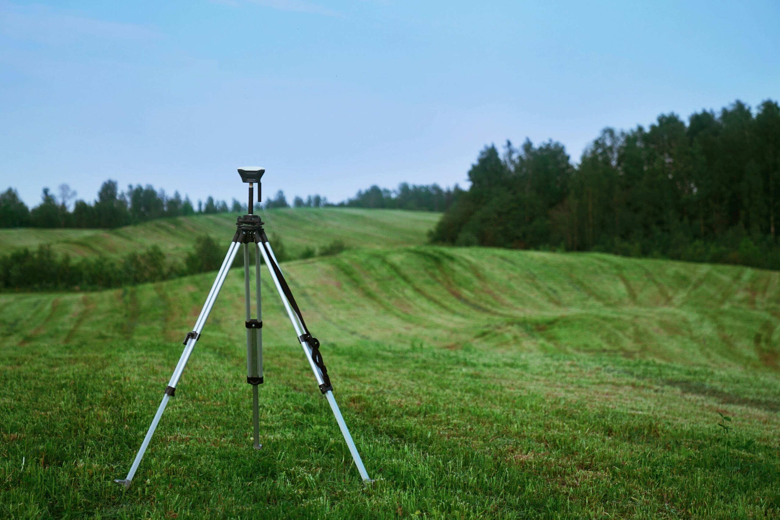
How To: Using GIS for Heritage
Heritage professionals and community groups across the UK are increasingly turning to Geographic Information Systems (GIS) to map, manage, and protect our historic sites. Whether you’re documenting a Grade II listed building, planning a conservation area, or engaging the public in heritage storytelling, GIS offers a powerful way to visualise and analyse spatial data.
We understand that GIS can be confusing (especially as a newbie), so the Heritage Network has compiled a beginner’s guide, ‘How To: Using GIS for Heritage’.
The information has been compiled from a presentation delivered by Ingrid Shearer from Glasgow Building Preservation Trust at our February Network Day 2025.
What You’ll Find in the GIS Mapping for Heritage Guide
This practical guide is designed for heritage professionals, volunteers, and community groups seeking to use GIS effectively in their projects. It covers:
- Understanding GIS Basics: An introduction to GIS concepts and how they apply to heritage projects.
- What analysis can you do with GIS?: How you can use GIS to analyse data, alongside the positives and negatives of the tool.
- Case Studies and Examples: How GBPT utilises GIS in heritage conservation and community engagement.
Why GIS Matters for Heritage
GIS enables heritage professionals to:
- Visualise Spatial Relationships: Understand the location and context of heritage assets within their surroundings.
- Analyse Patterns and Trends: Identify historical, environmental, and social patterns that inform conservation strategies.
- Engage the Community: Involve local communities in documenting and preserving their heritage through interactive maps.
- Support Decision-Making: Provide evidence-based insights to inform planning and policy decisions.
Get Started Today
Explore the GIS Mapping for Heritage guide on the Heritage Network’s Toolkit and start integrating GIS into your heritage projects. Whether you’re new to GIS or looking to enhance your skills, this resource offers valuable insights and practical tips to help you understand GIS more.
Give it a read here: https://members.heritagetrustnetwork.org.uk/toolkit/timeline/planning-your-project/gis-mapping-for-heritage/
Watch Ingrid Shearer’s presentation here: https://youtu.be/bwKAt1tq6ss?si=z7IlfAL8LlKsLthv
Thank you Ingrid Shearer from Glasgow Building Preservation Trust for her insightful presentation.
Note: The GIS Mapping top tips is only available on toolkit for paying members.
